


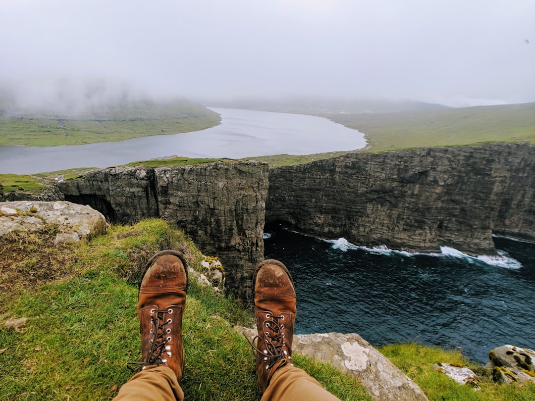
The path begins with mud. This is not a metaphor: the route leading to the famous viewpoint over Lake Sørvágsvatn, in the Faroe Islands, is a dirt track that crosses an open bog, and after any rain — an event far from rare in this North Atlantic archipelago — the first steps are taken among soaked grass and puddles that reflect a sky perpetually in motion. It is this mundane detail, the mud under the boots, that makes the arrival at the edge of the cliff even more surprising.

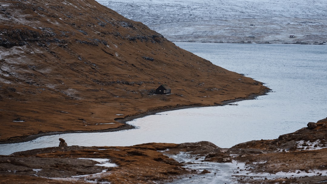
Sørvágsvatn, also called Sørvágsvatn/Leitisvatn depending on the local community that claims it, is the largest lake in the Faroe Islands, with an area of about 3.4 square kilometers. It is located on the island of Vágar, a few kilometers from the village of Sørvágur and the international airport of the archipelago. Yet, despite its proximity to the main entry point of the Faroe Islands, the lake retains an authentic solitude that is felt from the very first meters of the walk.
The path: five kilometers between bog and wind
The guided trail to the viewpoint measures about 5 kilometers round trip and takes an average of two and a half hours of walking, including photo breaks. It starts from an access point near Sørvágur, where during peak seasons a mandatory local guide service is active — a measure introduced to protect the fragile ecosystem of the area and to ensure the safety of visitors along the more exposed sections. The ticket for the guided tour is around 300 Faroese crowns per person, an amount that includes accompaniment to the viewpoint.
The landscape traversed is typical of the Faroe Islands: a stretch of green-gray moorland, without trees, with exposed rocks and tufts of grass that the wind constantly bends. Along the way, one encounters colonies of Arctic terns nesting on the ground, and in summer it is not uncommon for some individuals to attempt to defend their nest quite aggressively, flying over walkers just a few centimeters from their heads. It is advisable to hold something raised in hand — a trekking pole or even just a hat — to distract the birds.

The optical illusion: why the lake seems to fly
The viewpoint is reached on a cliff that drops directly into the Atlantic. From here, looking northwest, Lake Sørvágsvatn appears suspended in mid-air, as if floating dozens of meters above the ocean. The effect is real and documented: the southern shore of the lake is separated from the sea by a strip of cliffs that, viewed from this precise angle, completely disappear from sight. The water level of the lake is actually about 30 meters above sea level, but the human eye, deprived of any intermediate reference, perceives it as suspended in the void above the waves.

The photograph of this illusion has become over the years one of the most shared subjects of the Faroe Islands on social media, helping to transform Vágar into one of the most sought-after destinations in the North Atlantic. But in person, the effect is even more powerful than any image: the sea horizon merges with the gray sky, the waves crash against the rocks below, and the lake remains still and silent above all this, almost indifferent.
What to observe along the way and practical advice
Those who walk the path carefully will notice, in addition to the terns, the presence of waterfalls descending towards the sea along the rocky cliffs — the lake empties into the ocean through one of these waterfalls, the Bøsdalafossur, visible from the viewpoint. In spring and early summer, the grassy cliffs also host puffins, recognizable by their orange beaks and their clumsy yet precise flight.
The best time to visit is early in the morning, preferably between 7 and 9, when the slanting light enhances the contrasts between the dark water of the lake and the green of the peat bog, and the groups of tourists are still few. Local guides generally operate from May to September; out of season, access may be freer but also riskier, as the paths are not permanently marked and the wind can reach considerable speeds. Waterproof clothing and sturdy boots are not optional: they are the minimum requirement to tackle this part of the Faroe Islands under any weather conditions.
How to get to Sørvágsvatn
Vágar Airport is the main international airport of the Faroe Islands and is located less than 5 kilometers from the starting point of the trail. From the village of Sørvágur, you can reach the access point on foot or by car. Those arriving from the capital Tórshavn can take bus line 300 to Sørvágur, with a journey that includes passing through the underwater tunnel that connects the islands of Streymoy and Vágar. The tunnel, opened in 2002, is toll-based and represents one of the most interesting infrastructural sections of the archipelago.